“Effective foundations are not just for buildings; they are the key to lasting success in every endeavor.”
Drilling
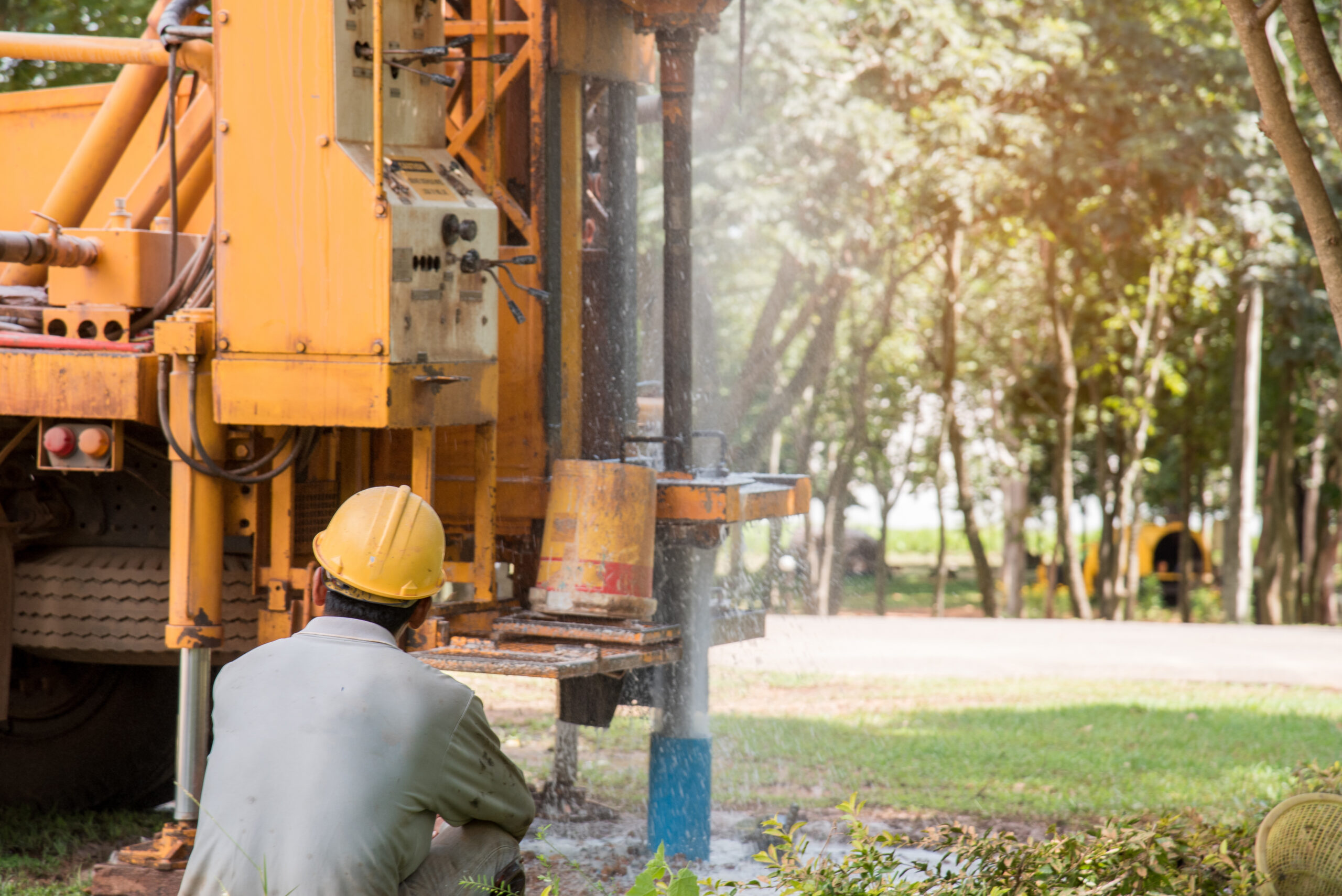
Drilling operations are performed at various depths to determine the properties of soil layers. We use the following methods in geotechnical drilling:
- Core and Non-Core Soil Investigation Drilling
Soil profiles are determined through either core drilling (extracting core samples) or non-core drilling (using cutting methods), both of which are used to gather information about soil layers.
- Disturbed and Undisturbed Sample Collection
To ensure accurate analysis of soil properties, disturbed and undisturbed samples are collected for laboratory experements.
- Soil Profile Log Creation
Data obtained from drilling operations are organized and documented in the form of a log to represent the depth and characteristics of soil layers.
Geophsycal Test
This method provides important data on soil properties, Soil layers structure, groundwater levels and potential Soil characteristics. These techniques increase the accuracy of ground analysis, supporting safe and efficient construction planning.
- MASW (Multichannel Analysis of Surface Waves)
MASW analyzes surface wave velocities to create a soil profile, as per ASTM D7128, allowing for detailed assessments of soil hardness and suitability for construction.
- Electrical Resistivity
This method uses electrical currents to determine soil and groundwater characteristics based on their resistance, following ASTM G57 standards, helping identify subsurface layers and groundwater levels.
- Cross-Hole
By measuring velocity profiles between parallel boreholes in accordance with ASTM D4428/D4428M, the Cross-Hole technique provides detailed insights into soil layer structures, essential for assessing ground stability.
- Down-Hole
Utilizing seismic signals sent from surface boreholes, Down-Hole testing enables in-depth analysis of soil layer velocities to understand subsurface seismic properties crucial for engineering purposes.
- Georadar (Ground Penetrating Radar)
Using high-frequency radar waves, Georadar detects underground objects and structures, making it ideal for identifying pipes, voids, and archaeological elements below the surface.
- Microtremor
This method measures natural seismic vibrations within the ground to evaluate seismic properties and resilience against earthquake effects, making it valuable for earthquake-prone areas.
Field Test
These tests provide critical data for understanding the behavior of ground materials under various conditions, enabling engineers to make informed decisions for safe and effective design in construction projects.
-
SPT (Standard Penetration Test)
This test, conducted per ASTM D1586, is a dynamic test used to determine soil density. During / after drilling a borehole, a rod is driven into the ground, and the number of blows (N-value) required to drive it a certain depth is recorded.
- CPT (Cone Penetration Test) / CPTu ( With Pore Pressure)
Conducted according to ASTM D3441, this test is used to measure soil strength. A cone-shaped probe is pushed into the ground to measure penetration resistance, friction sleeve and pore pressure. It is commonly applied in soft and sandy soils.
- Pressuremeter / Dilatometer Test
This test is used to determine the deformation modulus of soil or rock. An instrument is placed into a borehole and applies pressure to the surrounding ground to measure its elasticity.
- Plate Load Test
This load test is used to determine the bearing capacity of soil. A load is applied through a plate placed on the ground surface, and the soil’s settlement under load is recorded.
- Field Vane Test
Commonly used in soft clay soils, this test measures shear strength. A cross-shaped vane is inserted into the ground and rotated, with the recorded shear resistance providing data on soil strength.
- Packer (Water Pressure) Test
Applied to measure cracks and permeability in soils. The flow of pressurized water within the ground is observed.
- Hydrofracture Test
This test examines hydraulic fracturing behavior in rocks. Pressurized water is applied to fracture the rock, and its strength properties are recorded.
- Permeability Tests
Used to determine the water permeability properties of soil. The rate of water movement through the ground is observed.
- Dynamic Cone Penetration (DCP) Test
This test is used to measure soil penetration resistance. A cone-tipped rod is driven into the ground by impact, and the penetration depth is recorded.
Reporting
A comprehensive report consolidates data, analysis, and recommendations, ensuring clarity and usability for stakeholders.
-
Introduction and Project Overview
Provides a summary of the project, its location, and objectives. Outlines the scope of the geotechnical investigation and its relevance to the project.
- Site Description and Geological Background
Includes a detailed description of the site’s topography, geology, and hydrology. Provides insights into the geological history and characteristics influencing the soil and rock behavior.
- Field Investigation Summary
Details the methodologies used in field testing, such as drilling, CPT, and in-situ testing. Summarizes findings like borehole logs, stratigraphy, and groundwater observations.
- Laboratory Test Results
Presents the results of laboratory tests performed on soil and rock samples. Includes key parameters like grain size distribution, Atterberg limits, shear strength, and compressibility.
- Geotechnical Analysis and Interpretations
Provides an analysis of field and laboratory data to determine soil and rock properties. Includes interpretations of bearing capacity, settlement, slope stability, and liquefaction potential.
- Recommendations and Design Parameters
Offers practical recommendations for foundation design, excavation, and soil improvement. Specifies design parameters for engineers to incorporate into project planning.
- Supporting Visuals and Appendicest
Incorporates graphs, tables, borehole logs, and cross-sectional drawings for clarity. Includes raw data and additional information in appendices for reference.

